A Solo Hike to Birobong Peak, Chiaksan National Park


Lately, I've been sticking to easy trails, so it's been ages since I last reached a summit.
To make matters worse, I haven't been to Birobong Peak in Chiaksan Mountain, which is so close to me, since February 2024.
So,
Since the community gym I go to every day is closed for a week for renovations, I decided to head to Chiaksan Mountain.
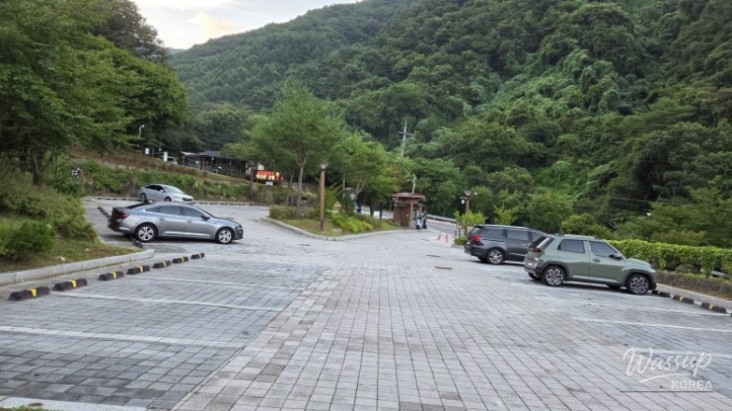
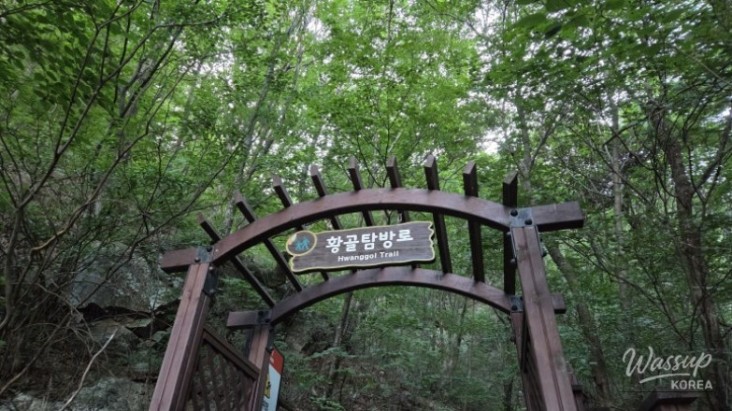
It's still hot during the day, so I decided to start at dawn. I arrived at the Hwangol Exploration Center at 5:50 AM.
I was worried about my stamina since I hadn't been hiking for almost a year, but
I managed just fine, not much different from last year.
Still, I wasn't overtaking anyone, and plenty of people were passing me... ㅠㅠㅠ
The weather was a pleasant autumn day thanks to the early morning hike and the high altitude.
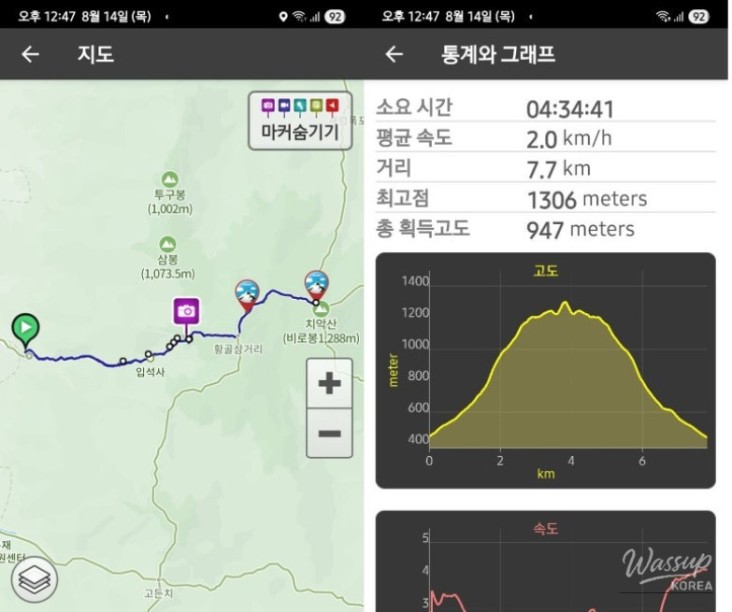
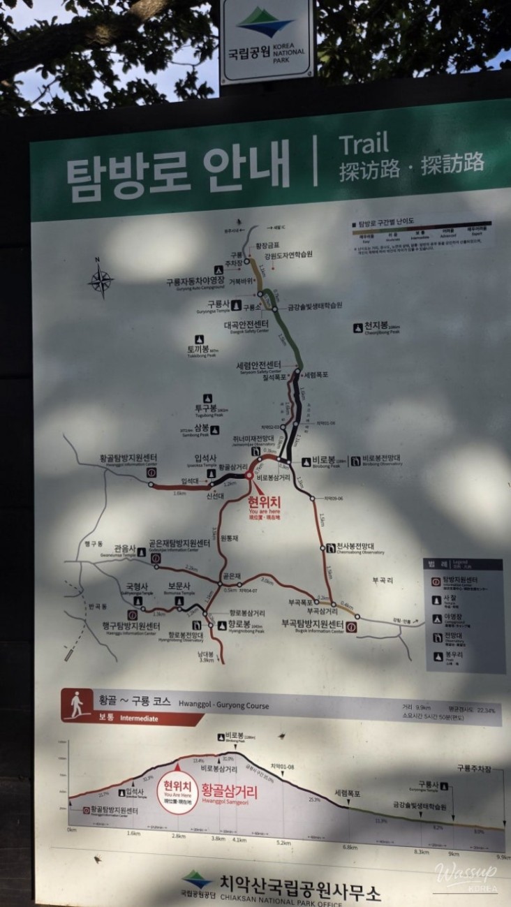
Hiking Course: Hwangol Center Parking Lot - Hwangol Shelter - Hwangol Junction - Jwineomi Pass Observatory - Helipad - Birobong Peak <Descent in reverse> (8.3km)
Duration: 04 hours 35 minutes (Moving Time 03 hours 57 minutes, Rest 00 hours 37 minutes)
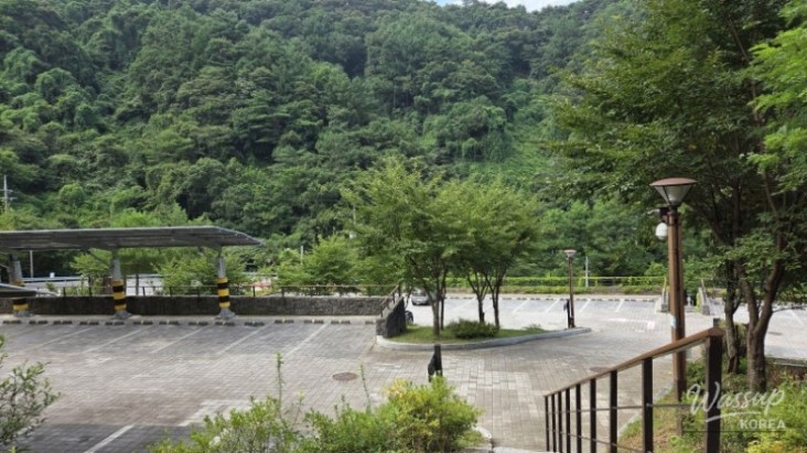
I parked at the Hwangol Exploration Center parking lot and started my hike (05:54).
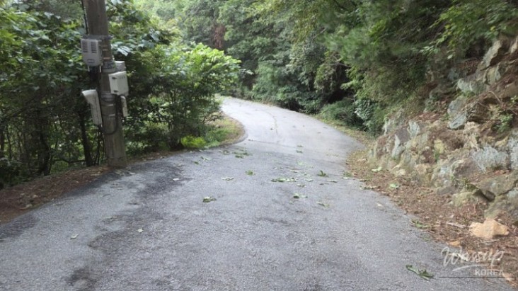
I walked up the steep paved road to Ipsuksa Temple.
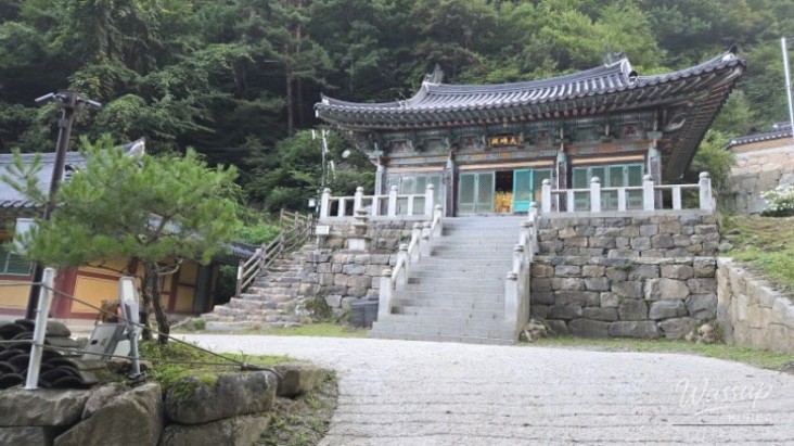
Arrived at Ipsuksa Temple's Daeungjeon (main hall) (06:24), about 1.6km from the parking lot.
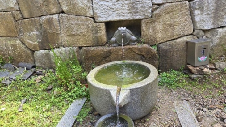
Ipsuksa Temple sign. Took a short break and had a sip of water.
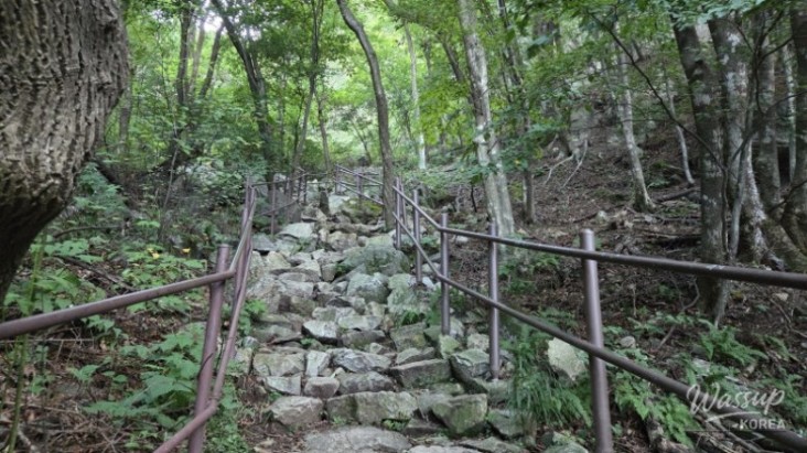
I passed Ipsuksa Temple and immediately reached the entrance to the trail (06:31).
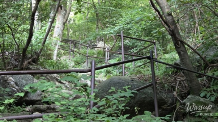
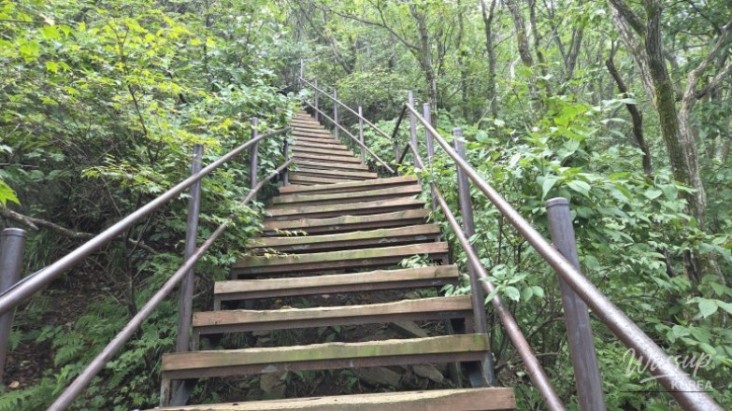
This 600m section is the toughest part of today's hike.
It's only 600m, but it felt like an endless uphill climb on stone stairs.
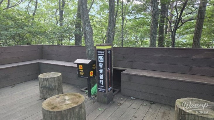
Finally, I reached Hwangol Shelter, where the difficult section ends (07:00).
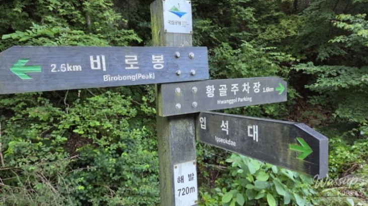
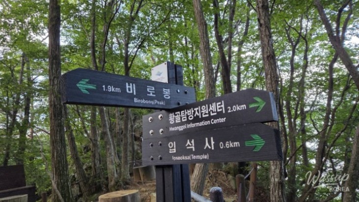
The distance between the center and the parking lot must be about 200m. Ipsuksa sign (Parking Lot - Birobong: 4.1km), current sign (Center - Birobong 3.9km).
Arrived at Hwangol Junction (07:33)
Arrived at Jwineomi Pass Observatory (07:45)
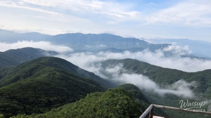
From the observatory, I could barely see the Sambong Peaks.
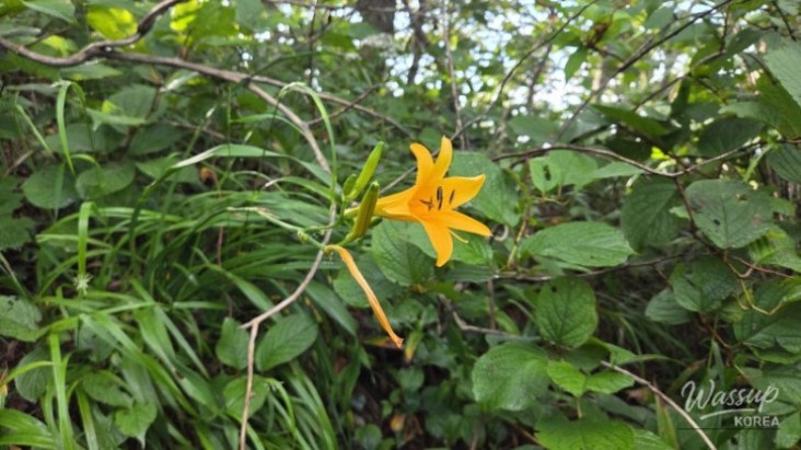
The daylilies were blooming beautifully.
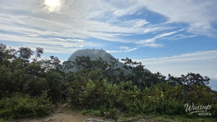
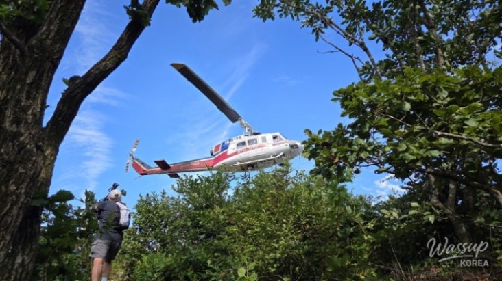
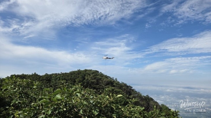
Birobong Peak as seen from the helipad. I actually encountered a helicopter at the helipad on my way down! ㅋ
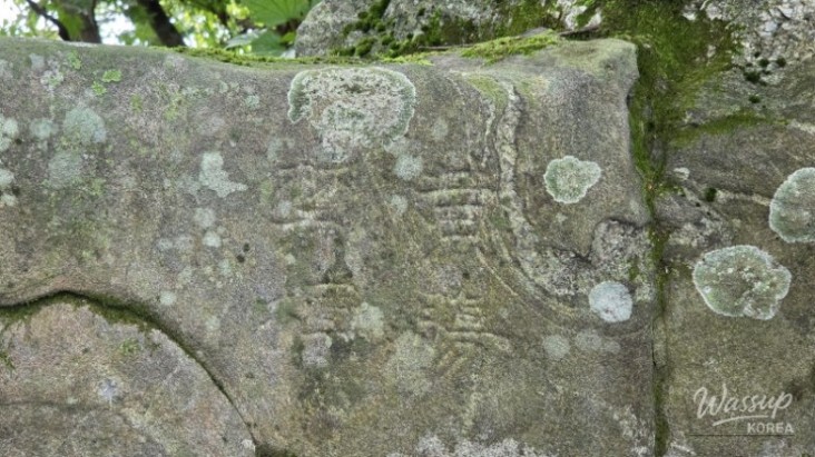
Hwangjang Geumpyo (Forbidden Tree Marker): A Joseon Dynasty marker prohibiting the logging of Hwangjangmok (red pine), a straight and tall pine tree. There are a few more Geumpyo near Guryongsa Temple.
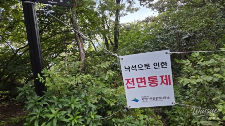
The valley trail towards Guryongsa Temple is closed.
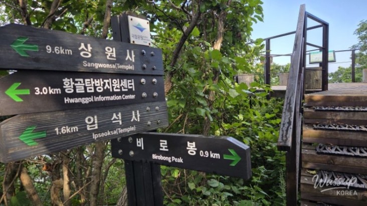
Climbing up these stairs for 300m will lead you to Birobong Peak.
Arrived at Birobong Peak (08:18). Reaching the summit in 2 hours and 30 minutes is a decent time.
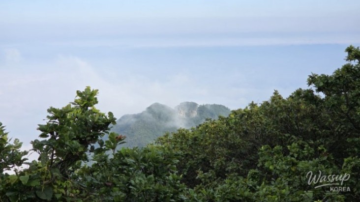
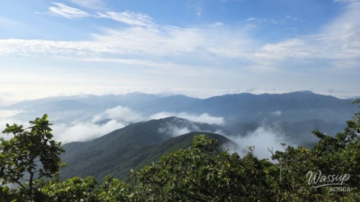
Sea of clouds seen from the summit.
I ate a piece of bread, took one more look at the sea of clouds, and started my descent (08:30).
A real helicopter was landing at the helipad I had just passed. Workers for trail maintenance got off.
They are now busy carrying construction materials.
Back to Ipsuksa Temple (09:56)
Arrived at the Hwangol parking lot, completing a successful hike (10:26).
No comments yet.