A Solo Hike to Birobong Peak, Chiaksan National Park
26, Guryongsa-ro, Socho-myeon, Wonju-si, Gangwon-do, Republic of Korea
치악산


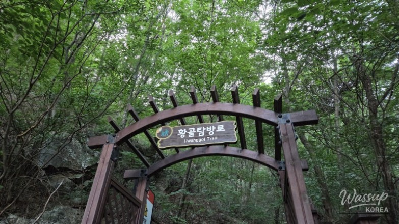
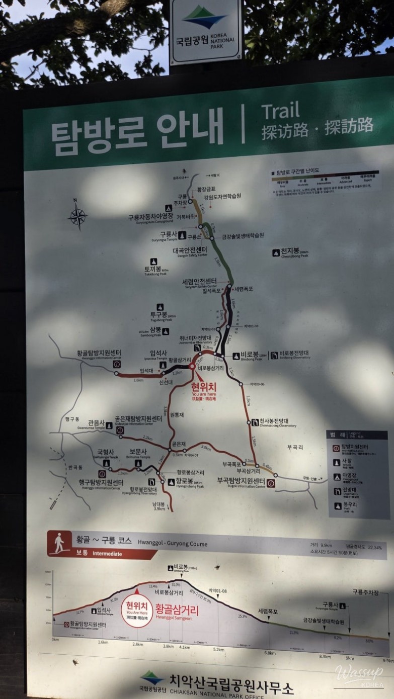
Chiaksan Mountain (치악산) is one of Korea's most iconic and challenging hiking destinations, known for its steep ridges and the majestic Birobong Peak. After nearly a year away from major summits, I returned to these familiar trails to test my stamina and escape the lingering summer heat. Starting at the break of dawn from the Hwangol Exploration Center, this journey offered a refreshing encounter with autumn-like weather at high altitudes.
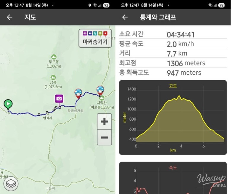
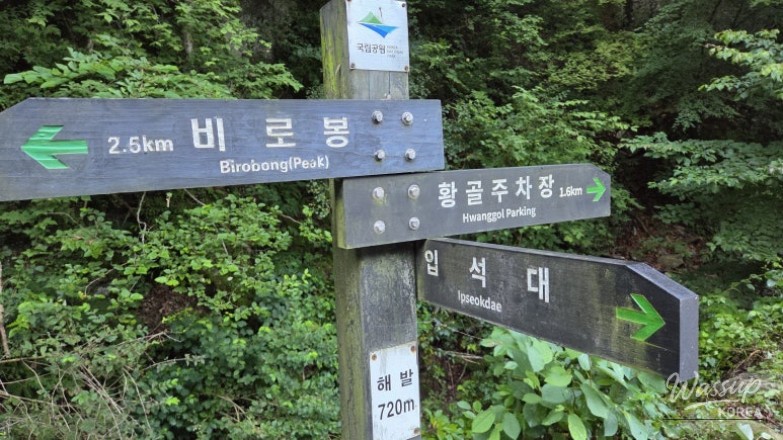
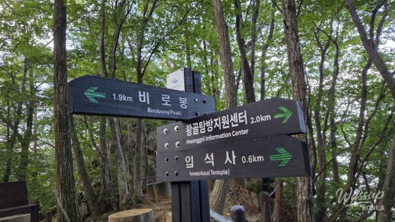
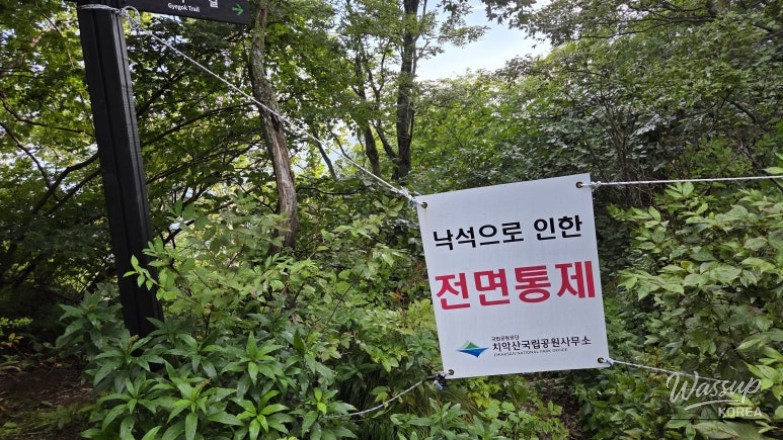
The Hwangol course is a demanding 8.3km trek that rewards hikers with spectacular views of the sea of clouds and historical landmarks like Ipsuksa Temple. Whether you are navigating the steep stone stairs to Hwangol Shelter or standing atop the 1,288m Birobong Peak, every step on Chiaksan provides a profound sense of accomplishment and natural beauty.
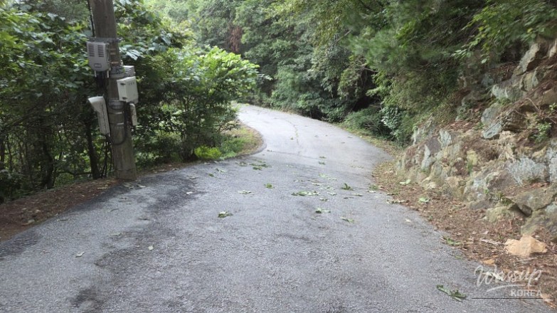
Dawn Ascent from Hwangol Exploration Center
Starting the 8.3km journey toward Birobong Peak
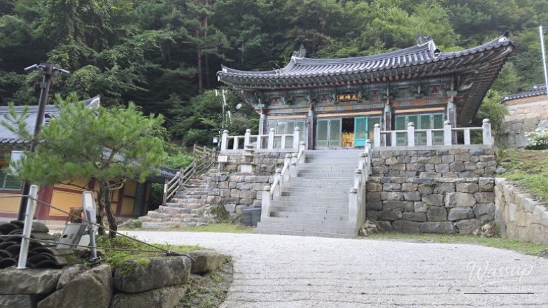
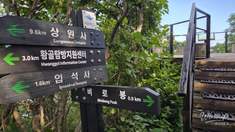
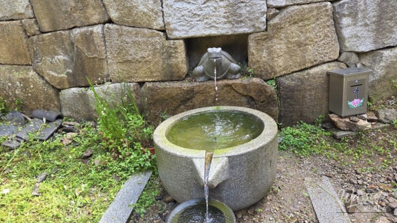
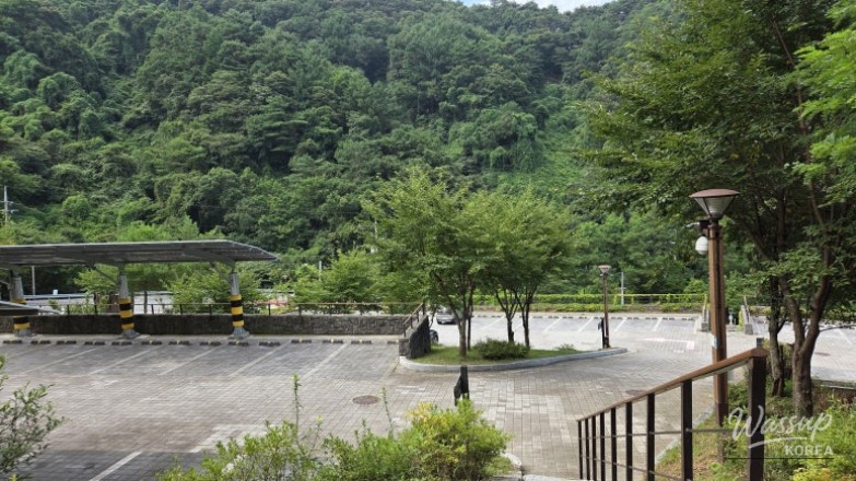
The hike began at 5:50 AM to avoid the midday sun. From the Hwangol Center parking lot, the trail immediately introduces a steep paved road leading to Ipsuksa Temple. Arriving at the temple's main hall (Daeungjeon) after about 1.6km, the quiet morning atmosphere provided the perfect setting for a short water break before the real challenge began.
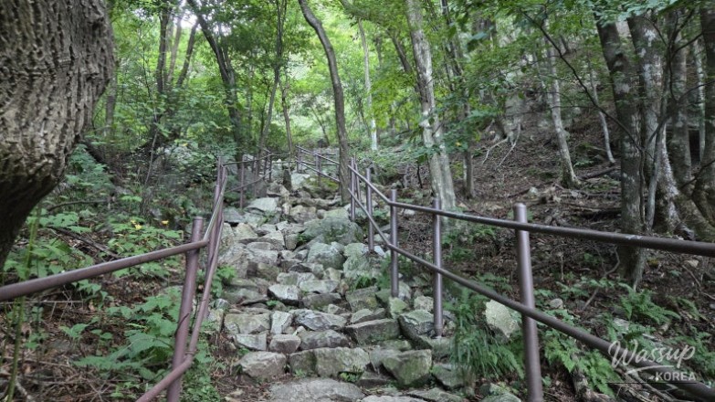
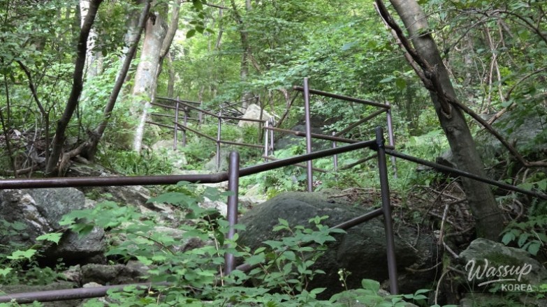
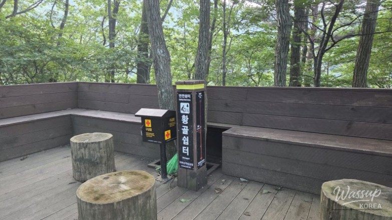
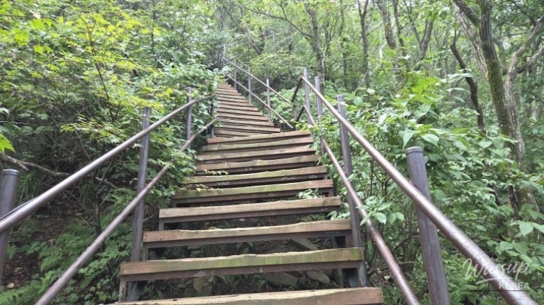
Immediately after passing the temple, the trail transitions into a 600m section of stone stairs. This is widely considered the toughest part of the hike, feeling like an endless uphill battle. Reaching the Hwangol Shelter at 7:00 AM marked the end of this grueling segment, offering a transition into the more scenic ridge paths toward the summit.
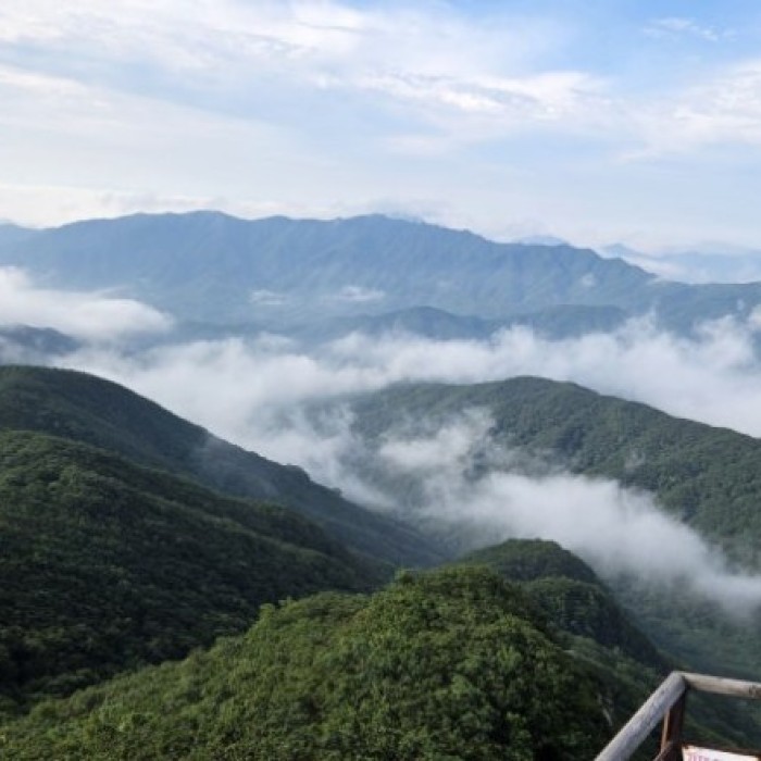
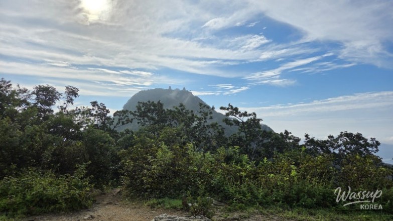
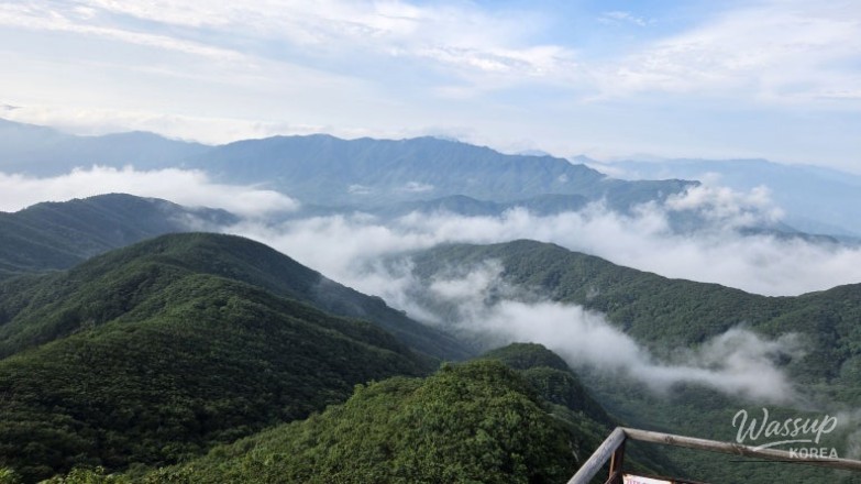
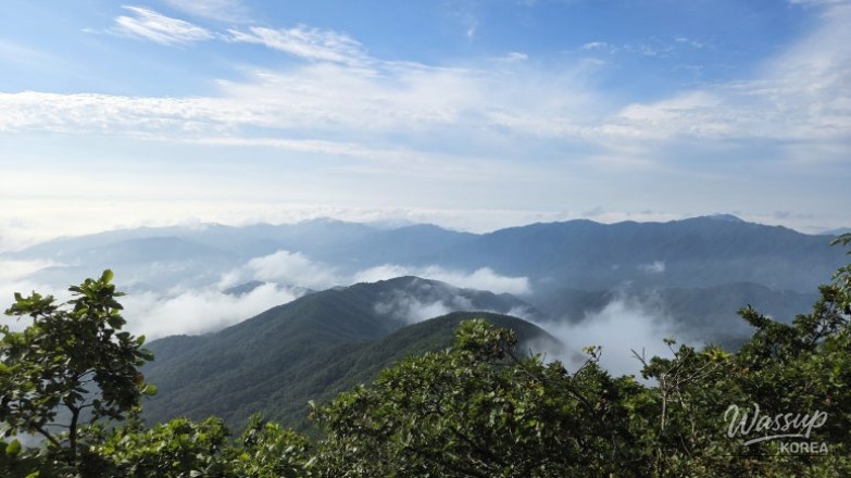
Ridges, Observatories, and Sea of Clouds
Magnificent views from Jwineomi Pass and the helipad
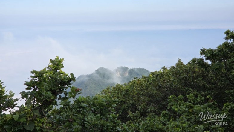
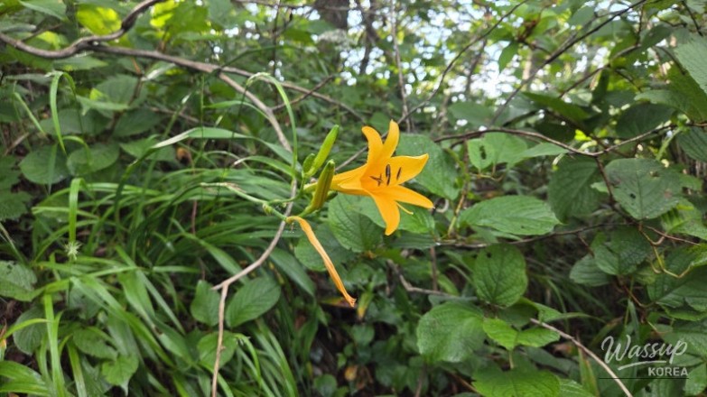
As I reached the Hwangol Junction and moved toward the Jwineomi Pass Observatory, the landscape began to open up. Despite a slight haze, the Sambong Peaks were visible, and the alpine daylilies were in full bloom. The ridge walk provides a much-needed mental break with its stunning vistas before the final push to the top.
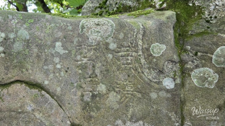
Passing the helipad, I encountered a Hwangjang Geumpyo, a historical Joseon Dynasty marker that once prohibited the logging of prized red pines. The final 300m climb consists of steep stairs that lead directly to the summit stone of Birobong. Reaching the peak in just 2 hours and 30 minutes, I was greeted by a magnificent sea of clouds that felt like a reward for the year-long wait.
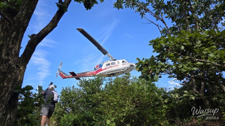
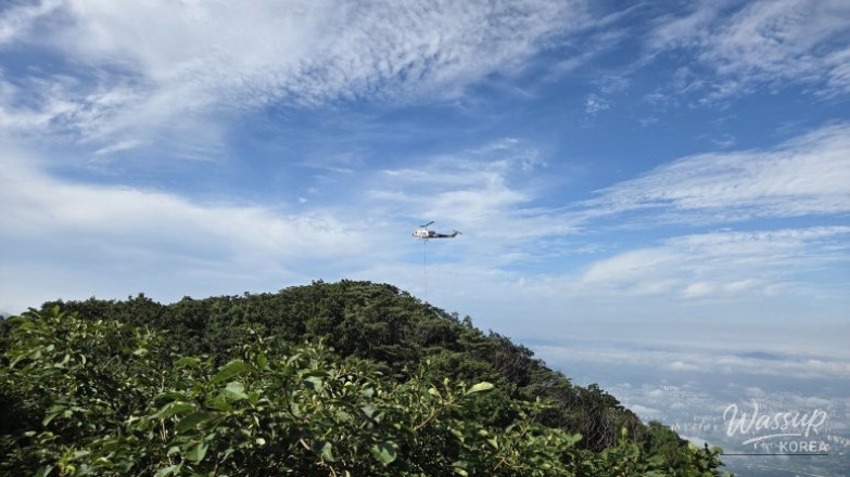
Descent and Encounters on the Trail
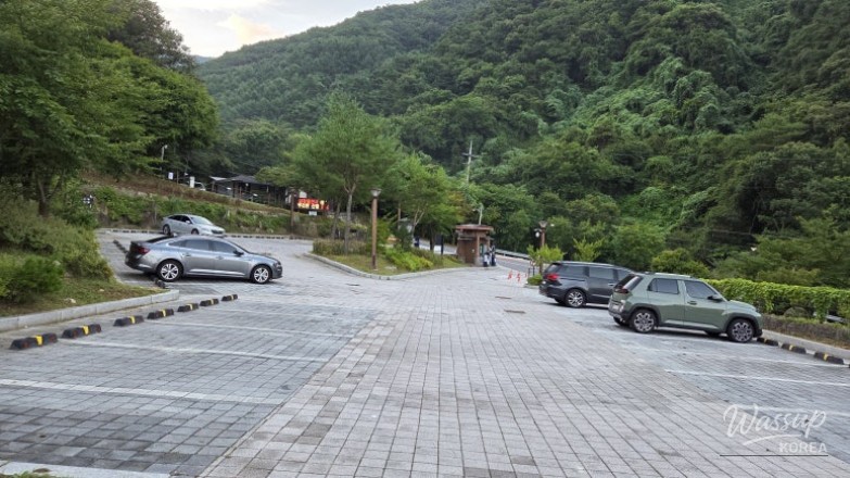
A successful return to the Hwangol parking lot
The descent followed the same route in reverse. Near the helipad, I witnessed a trail maintenance helicopter landing to drop off construction materials and workers. Seeing the hard labor involved in maintaining these beautiful trails made me appreciate the path even more. The weather remained pleasant, staying around 23 degrees Celsius throughout the morning.
By 10:26 AM, I arrived back at the Hwangol parking lot, completing the 8.3km hike in roughly 4 hours and 35 minutes. Despite the initial worries about my stamina, my body remembered the rhythm of the mountain. Conquering Chiaksan Mountain (치악산) once again proved that dawn hikes are the best way to experience Korea's natural majesty during the changing seasons.
Have you ever experienced the awe-inspiring sea of clouds at the top of Chiaksan Mountain? Do you prefer the challenge of steep stone stairs or the gentle walk of a paved forest road? If you're planning a visit to Birobong Peak, I highly recommend starting before dawn to catch the best views. Would you like me to recommend some other great hiking trails in the Wonju area?
No comments yet.