Hiking Palbongsan: A Sunday Adventure Near Chuncheon
169-1, Palbong-ri, Seo-myeon, Hongcheon-gun, Gangwon-do, South Korea
팔봉산


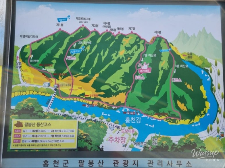
Palbongsan Mountain in Hongcheon is a legendary destination for hikers, offering a unique challenge across eight distinct peaks. While some consider it a light trek, the rocky terrain and steep cliffs provide a thrilling experience that requires careful preparation and physical stamina.
This review covers a late April journey through Peaks 1 to 7, highlighting the essential trail information, parking tips, and the realistic difficulty level of the course. Whether you are a bucket-list hiker or a casual adventurer, understanding the flow of this rocky mountain is key to a safe descent.
Getting Started: Parking and the Trailhead Entrance
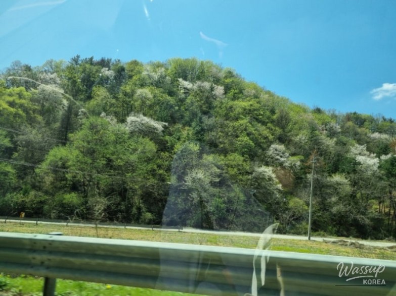
Arriving at Palbongsan Mountain (팔봉산) in late April offers a beautiful display of cherry blossoms and fresh greenery. When you arrive, be mindful of the parking situation. While there is a signpost further out, driving closer to the actual trailhead entrance can save you a 10-minute walk. During busy Sunday afternoons, roadside parking near the main entrance is a common sight.
The true journey begins once you cross the green steel bridge. This serves as the gateway to the rocky ascent. Many hikers finish their journey early in the day, so starting around 1:30 PM means you might have the trail to yourself, but it also means you must keep a steady pace to descend before dark.

Conquering Peak 1 and the Steep Ascent
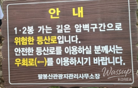
The climb to Peak 1 is intense, often compared to a rocket launch due to its continuous vertical gain. It is easy to get confused by detour signs meant for safety; however, following them blindly might lead you to skip Peak 1 entirely. If you want the full experience, ensure you stay on the proper path from the beginning to reach the first summit marker.
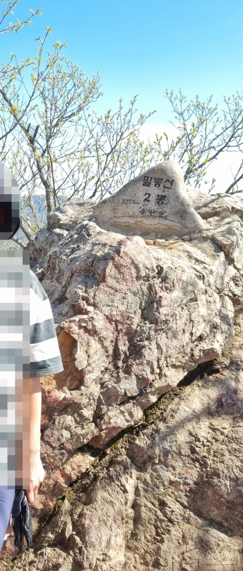
The Ridge Walk: Peak 2 to Peak 3
Peak 2 is a popular resting spot featuring an observation deck and a small mountain spirit pavilion known as Sansingak. It provides a brief moment of respite, though the shade is limited. This peak offers a great vantage point before heading toward the more intimidating sections of the mountain.

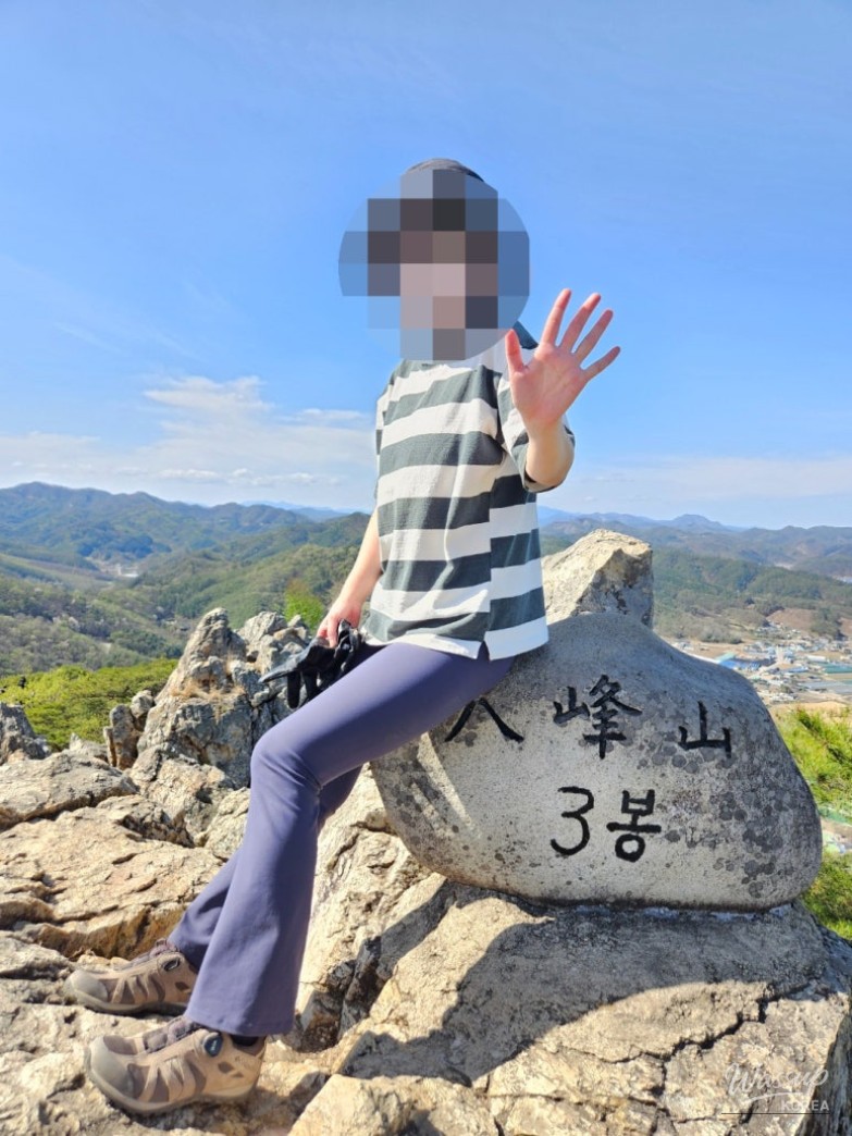
Navigating the Sky Stairs and High Altitudes
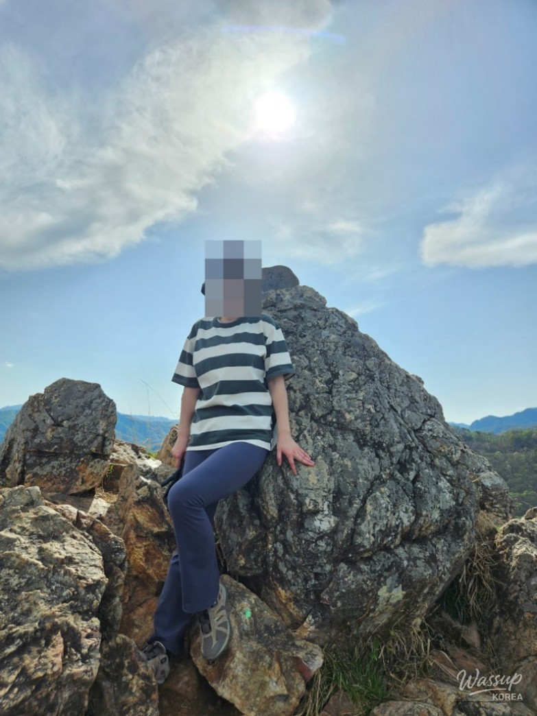
The path to Peak 3 includes the famous sky stairs. For those with a fear of heights, this section can be nerve-wracking. The elevation is significant, and the views are breathtaking, but it requires focus and a steady grip. Taking photos at the summit of Peak 3 reveals just how high you have climbed above the surrounding river and valley.
The Middle Peaks: Challenges of Peaks 4, 5, and 6
Moving through Peaks 4, 5, and 6 can be tricky as the summit markers are small and sometimes hidden. Peak 5 is particularly steep and sharp, making it a section where many hikers choose to prioritize safety over standing directly on the jagged summit point. The terrain here involves navigating cliffs and using metal staples embedded in the rock.

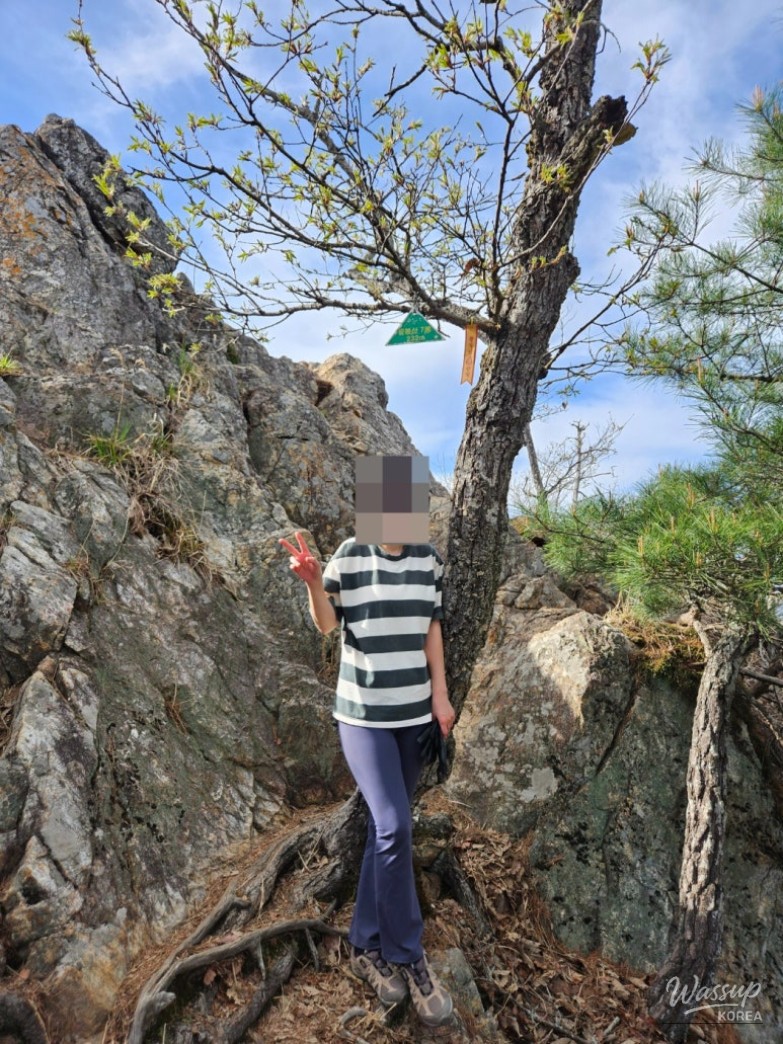
Reaching Peak 7 and Choosing the Descent
By the time you reach Peak 7, fatigue often sets in. Peak 8 is notorious for being the most dangerous and challenging section of the entire mountain. If your legs feel weak or your condition is declining, taking the B Course descent between Peaks 7 and 8 is highly recommended. Safety should always come first when navigating these rocky cliffs.
Final Thoughts on the Palbongsan Experience
While some claim Palbongsan is easy, our experience proved otherwise. It took approximately 3 hours and 25 minutes to complete Peaks 1 through 7. The trail requires climbing on all fours in many sections, and hiking gloves are an absolute necessity to protect your hands from the rough rocks and steel cables.
After the hike, visiting a nearby cafe like Ediya Forest for an iced Americano is the perfect way to recover. The transition from the physical strain of the mountain to the peaceful spring atmosphere of the valley is a rewarding end to a challenging day.
Have you ever encountered a mountain that was much harder than the reviews suggested? If you are planning to visit Palbongsan, do you feel prepared for the rocky "all-fours" climb, or would you prefer a more traditional forest trail nearby? Let us know your thoughts!


No comments yet.