A Perfect Day for a Walk! Exploring Gyeonggi-do on Foot

reply 0 hit 39 date 25-07-08 20:28
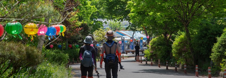
Gyeonggi Province offers some of the most diverse and accessible walking trails in Korea. From rivers and forests to oceans and cities, these trails reveal vibrant landscapes where people and nature coexist. With easy access via public transportation, these routes are ideal whether you're a seasoned hiker aiming to complete the full course or a family seeking a casual afternoon stroll. In June, walking through Gyeonggi-do isn’t just about the view — you become part of the scenery.
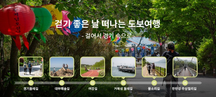
SPOT 1. Circle Gyeonggi on Foot: Gyeonggi Dulle-gil
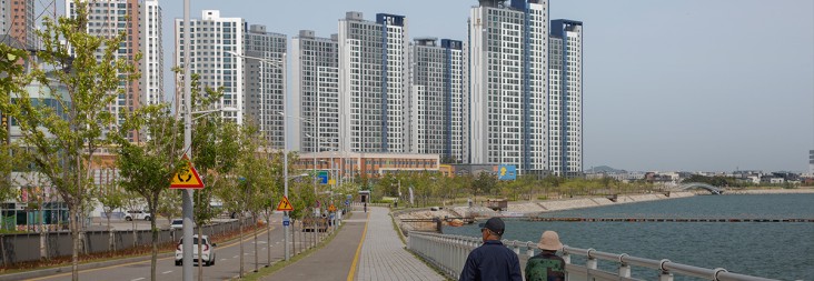
The Gyeonggi Dulle-gil is a long-distance circular trail that encircles the outer edge of Gyeonggi-do. Stretching 860 km across 60 courses, the trail lets you explore scenic views, historical landmarks, and ecological resources. It starts at Daemyung Port and spans the province in a loop, created through cooperation with 15 cities and counties.
The Dulle-gil is divided into four themed zones: Peace Trail (near the DMZ), Forest Trail, Waterway Trail, and Coastal Trail, each reflecting its unique landscape. Finish all sections using the official stamp book or apps like Tranggle or Ramblr to receive a certification, commemorative coin, and mascot keychain set from Gyeonggi Tourism Organization.
Recommended June Course:
-
Anseong Route 42: The southernmost trail in the system, stretching 6.4 km from Cheongryong Temple to Seoun-myeon Office. It offers peaceful temple scenery, forest hiking, and expansive rural fields.
-
Start: 140 Cheongryong-gil, Seoun-myeon, Anseong
-
End: 23 Seounjungang-gil, Seoun-myeon, Anseong
-
Distance: 6.4 km / ~2 hrs
-
Contact: +82-31-259-4715


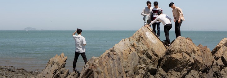
SPOT 2. Sunset Walk Along the West Coast: Daebu Haesol-gil
Daebu Haesol-gil is a 91 km coastal walking path on Daebu Island, known for its natural beauty. The trail includes 10 diverse courses such as Pine Forest Trail, Salt Field Trail, Sunset Trail, and Mudflat Trail. It's a bird-watching haven and great for seaside activities.
Most Popular Course:
-
Course 1: From Bangameori Pier to Donjiseom — a route covering Daebu’s top attractions like Bangameori Beach, Gubongdo, and Sunset Observatory.
-
Start: 1531 Daebuhwanggeum-ro, Danwon-gu, Ansan
-
End: San 81-2, Daebubuk-dong, Danwon-gu, Ansan
-
Distance: 11.5 km / 3–4 hrs
-
Contact: 1666-1234


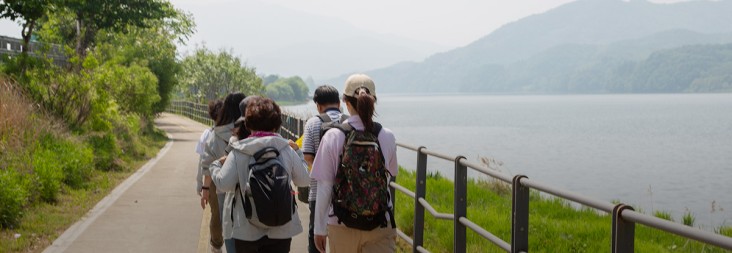
SPOT 3. Following the Yeo River: Yeogang-gil
Yeogang-gil explores the culture, history, and ecology of Yeoju over 14 walking courses (140 km total). It was designated Korea's first "Cultural Ecological Trail" by the Ministry of Culture in 2009. Managed by a private nonprofit, Yeogang-gil hosts walking festivals and offers excellent signage and trail maintenance.
Recommended Course:
-
Course 10 (Thousand-Year Ceramics Trail): Walk from Cheonnam Park through Ssari Mountain Pavilion to the Yeoju Museum.
-
Start: Near 571-9 Cheonnam-ri, Daesin-myeon, Yeoju
-
End: 7 Silleuksa-gil, Yeoju
-
Distance: 7.2 km / 3 hrs
-
Contact: +82-31-884-9088


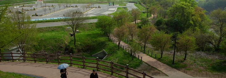
SPOT 4. City and Sea: Turtle Island Trail
To mark the 30th anniversary of Lake Sihwa’s restoration, the Turtle Island Trail has become a new urban/nature walking route. Once a polluted area, Sihwa is now home to rich biodiversity and Korea’s first artificial surf park, Wave Park.
Best Route:
-
Circular path from the public parking lot near Wave Park along Sihwa Lake to Turtle Island’s La Pen & back. Offers beautiful views and access to the Scenic Bridge, opening in June.
-
Start/End: 4 Geobukseom 5-gil, Siheung
-
Distance: 4.0 km / ~1.5 hrs
-
Contact: +82-31-310-2114


SPOT 5. Train-to-Trail Experience: Mulsorigil (Sound of Water Trail)
Mulsorigil lets you immerse yourself in the sounds of the Namhan and Bukhan Rivers. All 9 walking courses connect directly to train stations (Yangsu, Yangpyeong, and Yongmun), making access easy and perfect for weekend travel.
Recommended Course:
-
Course 2: Starts from Sinwon Station, passes scenic river views, old railroads, and tunnels, and ends at Asin Station — with a chance to enjoy local cold noodles afterward.
-
Start: 7 Sinwonyeok-gil, Yangseo-myeon, Yangpyeong
-
End: 23 Asinyeok 1-gil, Okcheon-myeon, Yangpyeong
-
Distance: 10.2 km / ~3 hrs
-
Contact: +82-31-770-1033


SPOT 6. Meet Ancient Geology: Hantangang Columnar Joints Trail
Formed 120,000–540,000 years ago from volcanic lava flows, the Hantangang Geopark is now a UNESCO Global Geopark. Trail 3, the “Beorut Trail,” links the mystical Bidulginang Waterfall to the stunning Mongurihyeopgok Gorge.
This section offers soaring 30–40m basalt columns, ancient sediment layers, and multiple scenic viewpoints. Most of the trail is gentle and suitable for casual hikers.
-
Start: 415-2 Daehoesan-ri, Yeongbuk-myeon, Pocheon
-
End: San 3-7 Sohoesan-ri, Yeongbuk-myeon, Pocheon
-
Distance: 6.0 km / ~1.5 hrs
-
Contact: +82-33-538-3030


-
https://www.ggtour.or.kr/recommend-travel/visit/b7a871d4-e460-412e-980…
Posting by Link, This link was clicked 8 times.
No comments yet.